Four technologies are sold under one heading, and nearly every bad purchase in this category comes from assuming they are cheap, medium and expensive versions of the same thing.
Here is each one, how it actually works, and where it fails.
1. Bluetooth crowd-network tags
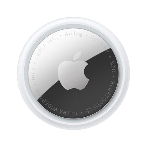
What it is: AirTag, SmartTag2, Chipolo, Pebblebee, Tile, Moto Tag.
How it works: the tag has no idea where it is. It broadcasts a rotating, encrypted identifier a few times a second. Any participating phone that hears it attaches its own GPS position, encrypts the pair and submits it to Apple or Google, who decrypt it for you. Apple describes the process as anonymous and encrypted, and efficient enough that the relaying phone's owner need not think about battery or data use.
Why it is free: there is no cost for the tag maker to recover. The data is carried by strangers' existing phone plans in microscopic increments.
Where it fails: no participating phones, no position. Fields, woodland, a shipping container, an empty road at night.
Battery: about a year. Apple states more than a year per CR2032; Samsung states up to 500 days.
2. Cellular GPS trackers
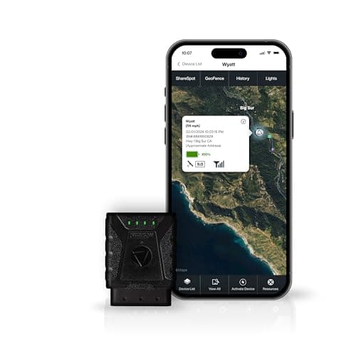
What it is: LandAirSea, Spytec, Tractive, Bouncie, Vyncs, AngelSense — anything with a SIM card in it.
How it works: two radios. A satellite receiver works out the device's own position — GPS is a public utility, free and unmetered. A cellular modem then sends that position over a mobile network, exactly like a phone.
Why it costs money: the SIM. Somebody pays a carrier for the data, every month, for as long as the device is in service. From published rates: $8.95 a month on the LandAirSea Sync, $12.95 a month paid annually on Spytec, and Tractive's Basic at $9 a month on a one-year term.
Where it fails: coverage holes, where it knows exactly where it is and cannot tell you. Also — counter-intuitively — inside large steel-framed buildings, where cellular signal is often poor and crowd-network tags do better.
Battery: days to months, dominated entirely by reporting interval.
3. Radio direction-finding
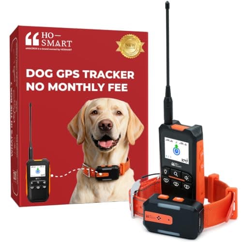
What it is: Garmin Alpha, Dogtra Pathfinder, Marco Polo, Girafus, eMACROS.
How it works: a handheld unit and a collar unit talk directly over license-free radio. The handheld computes a bearing and a distance. No network, no SIM, no servers, no company in the loop.
Why it is free: there is nobody to pay. This is the only technology that gives live tracking with genuinely no ongoing cost.
Where it fails: the position exists only on the handheld in your hand. No app, no map from the kitchen, no alert while you are at work. Range also collapses around hills and dense woodland.
4. Satellite
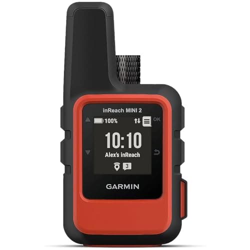
What it is: Garmin inReach and similar.
How it works: the device talks to satellites rather than cell towers, so coverage is global.
Why it costs money: satellite airtime is its own subscription. There is no SIM, so this is the one case where SIM-free is not fee-free — worth knowing if that is what you searched for.
What it is for: people, not objects. It answers “somebody needs to know where I am” rather than “where did I leave that”.
The test that identifies any product
One question tells you which technology a listing is describing, every time:
Can this tell me where the thing is while I am a hundred miles away and nobody is near it?
Yes → there is a SIM and there is a cost, billed monthly or prepaid. No exceptions.
No, but it tells me where it was → Bluetooth crowd network. Free.
Yes, but only if I am outside holding a handheld → radio. Free.
Yes, anywhere on earth, and there is an airtime plan → satellite.
If a listing claims the first with no cost of any kind, read the description again and look for the word Bluetooth, or for a bundled service term.
Matching technology to problem
Things lost around people. Keys, wallet, luggage, tools, camera bag, a parked car, a dog in a suburb. Bluetooth. Anything else is paying for coverage you will not use.
Things that move, where there is signal. A stolen car, a dog that works land near coverage, a person at risk of wandering. Cellular, and budget for the plan.
Things that move, where there is no signal. Hunting dogs, moorland, forestry. Radio — live, free, and the option most comparisons omit entirely.
A person beyond all coverage. Satellite.
A note on LoRa and the ones that are not quite here yet
You will occasionally see trackers using low-power wide-area networks — LoRa, Sigfox, NB-IoT. These sit between cellular and radio: long range, tiny data, excellent battery life, and dependent on network coverage that is patchy in consumer terms.
The practical consequence today is that they report periodically rather than continuously, which makes them good alarms and poor live trackers. Invoxia's devices are the consumer example, and they are genuinely good at the job they do: telling you something moved while there is still time to act.
What GPS actually is, since the word gets misused
GPS is a constellation of satellites broadcasting timing signals. A receiver listens to several at once and computes its own position. It is receive-only, it is free, and it works anywhere with a view of the sky.
Nothing about GPS transmits your location to anyone. A “GPS tracker” is a GPS receiver bolted to a transmitter, and it is the transmitter half that costs money and needs coverage. A Bluetooth tag — despite being sold in the same aisle — contains no GPS receiver at all.